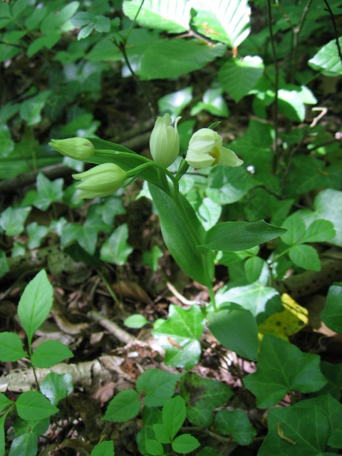
- Photo Date :May 23, 2010
- Location :Quarries of Saint-Vaast-Les-Mello, Oise, France.
N49Ḟ 16.038' E2Ḟ 23.929'
|
 |
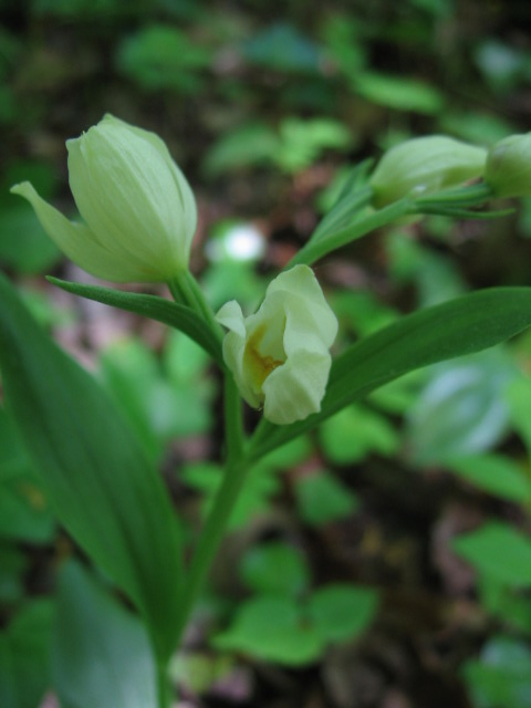
- Photo Date :May 23, 2010
- Location :Quarries of Saint-Vaast-Les-Mello, Oise, France.
N49Ḟ 16.038' E2Ḟ 23.929'
|
 |
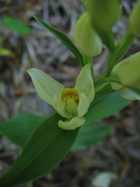
- Photo Date :May 23, 2010
- Location :Quarries of Saint-Vaast-Les-Mello, Oise, France.
N49Ḟ 15.997' E2Ḟ 23.927'
|
 |
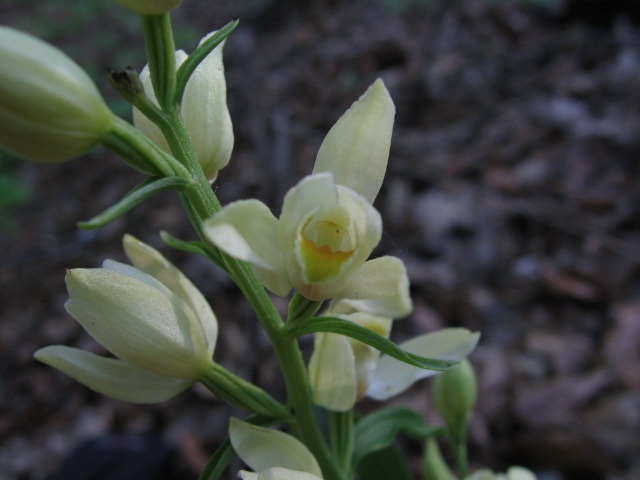
- Siting Date :May 31, 2005
|
- Location :Forest sector called Heslacher Wand, Stuttgart, West.
N48Ḟ 45.754' E9Ḟ 08.440'
|
- Siting Date :May 31, 2005
|
- Location :Forest sector called Heslacher Wand, Stuttgart, West.
N48Ḟ 45.745' E9Ḟ 08.398'
- Distance from Stuttgart base point: 756 m
|
- Siting Date :May 31, 2005
|
- Location :Along the Friedrich-Wertz-Weg near the University, Stuttgart, West.
N48Ḟ 45.142' E9Ḟ 06.980'
|
- Siting Date :May 31, 2005
|
- Location :Along the Stein Strässle near the University, Stuttgart, West.
N48Ḟ 45.079' E9Ḟ 05.913'
|
- Photo Date : June 6, 2004
- Location : On the way to the ehemalige Kapelle in the Schönbuch Nature Reserve.
|
 |
- Siting Date :June 8, 2006
|
- Location :Forest sector called Hohberg between Stuttgart and Sindelfingen.
N48Ḟ 43.523' E9Ḟ 02.921'
|
- Siting Date :June 8, 2006
|
- Location :Forest sector called Hohberg between Stuttgart and Sindelfingen.
N48Ḟ 43.589' E9Ḟ 02.966'
|
- Siting Date :June 8, 2006
|
- Location :Forest sector called Bernhart near Lauchäcker, Stuttgart.
N48Ḟ 43.699' E9Ḟ 03.570'
|
- Siting Date :June 11, 2006
|
- Location :Along Fressberger Steige between Stuttgart and Sindelfingen.
N48Ḟ 42.658' E9Ḟ 02.614'
|
- Siting Date :June 11, 2006
|
- Location :Along Madlenenweg between Stuttgart and Sindelfingen.
N48Ḟ 43.001' E9Ḟ 02.535'
|
- Siting Date :June 11, 2006
|
- Location :Along Alte Vaihinger Strasse between Stuttgart and Sindelfingen.
N48Ḟ 43.277' E9Ḟ 02.466'
|
- Photo Date : June 11, 2006
- Location :Along the Rotsteiglesweg near A8/A831 interchange, Stuttgart.
N48Ḟ 43.719' E9Ḟ 03.460'
|
 |
- Siting Date :June 14, 2016
|
- Location :Parc National du Mercantour, Vallon de la Minière
|